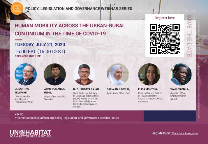
21 July, from 16:00 to 17:30 East Africa Time (EAT)
Register here
This webinar is part of a series of webinars (PLG Webinar Series and URL Webinar Series) that aim to contribute to the thinking processes on integrated territorial development and increase understanding how the impacts of Covid-19 can advance opportunities to reorient policies and development practices and to catalyze territorial approaches and promote transformative change. Together with relevant partners, we aim to co-develop a deeper understanding and exchange on how stronger urban-rural linkages and other territorial approaches – such as food systems, landscape and ecosystem approaches – can become an integral part of the Covid-19 recovery responses and global long-term sustainable actions.
Click here to find the agenda and more information on the webinar.